This past weekend my family and I went to our favourite
place, Lake O'Hara, British Columbia. The weather was fantastic! I took many photos and have only processed a few.
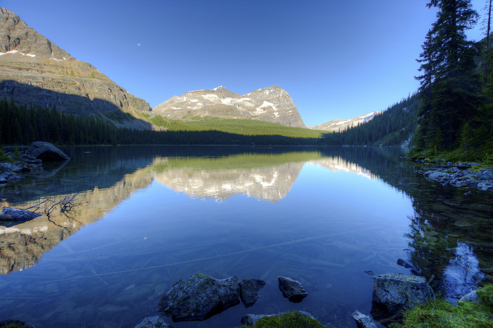
This is a 6 vertical shot panorama of Lake O'Hara, taken
August 5 at 8:30 am, just as the sun peeked over the mountains. I was trying to
get there before the sun, but got caught up in other photos.
This is about a 180° view.
I took 5 shots at each of the 6 positions, processed them with
Photomatix, tweaked and sharpen in Photoshop CS5, then merged using Photoshop Photomerge.
Hope this gives a fair impression of what Lake O'Hara really
looks like.
Lake O'Hara looking west to Mount Odaray. The white spot is not dust but the moon! 5
shot HDR processed in Photomatix Pro and ACR, a bit more tweaking in Photoshop
This is the first day:
1. The beginning of the hike to an alpine lake called Lake
Oesa. This is the bridge over the Lake O'Hara outlet stream. Mount Lefroy (3426m/11959ft) is in the
background. Katherine on the bridge.
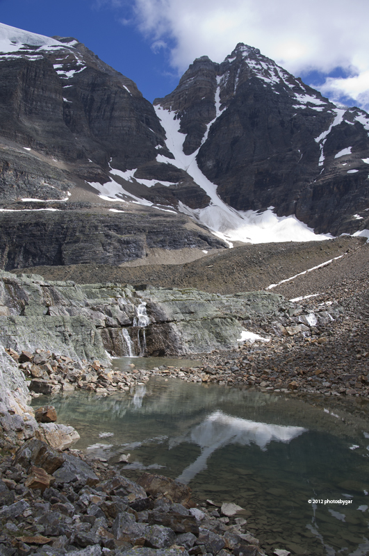
2. About half way to Oesa. The waterfall is on the outlet
stream of Lake Oesa. Matthew observing the scene.
3. Closer to the waterfall. The peak in the background is
Glacier Peak. (3283m/10834ft)
4. The trail to Lake Oesa. It is just above the escarpment
in front.
5. A friendly marmot. They were everywhere and not really
afraid of us. This fellow was about 8 feet away.
6. Starting the climb up to the Yukness Ledges Alpine trail.
This is looking back at Lake Oesa and the outlet stream. Yukness Mountain is
the pointy peak. (2847m/9395 ft)
7. Further up the trail and looking back at Lefroy Lake, Lake
Oesa, Glacier Peak and Mt. Lefroy
8. Approaching the cliff edge on the Yukness Ledge Trail. It
may look steep, and there are several sections where one would not want to
slip, but generally it is very safe and all ages from 4 to 80 hike it.
9. A Pika peeking. These animals are heard often and rarely
seen - they hide in the rocks. They are
in the same family as rabbits. This guy was as curious about me as I was about
him. This is cropped about 50%.
10. Waterfall seen from the trail.
11. View from the cliff edge. Yukness Lake in foreground,
Lake O'Hara in background and Mt. Odaray (3123m/10305 ft). For perspective,
Yukness Lake is about 320 meters/1056ft below this point.
12. A good example of the type of terrain - large broken
rock. It is not all like this, but narrows to a better defined trail. My boys are in blue - another hiker behind.
13. Another view of Lake O'Hara and Mt. Odaray from the
Yukness Ledges.
14. Back at the campground. This is the evening, about 7:20
pm - the sun was catching Wiwaxy Peak
(2665m/8794ft)
This is a 3 shot HDR taken on day three. Posting here
because I processed it today! The outlet stream of Lake O'Hara and the peak in
the distance is Yukness Mt.
And another HDR shot, 5 images this time, of Mt. Odaray on
the morning of August 5.
That covers day one ( and a bit of day three)!! When I get the others done, I will post in a
new thread as this is rather long.
Please forgive my verbosity, but I wanted to give you a bit of a feel
for this beautiful area.
Garth